
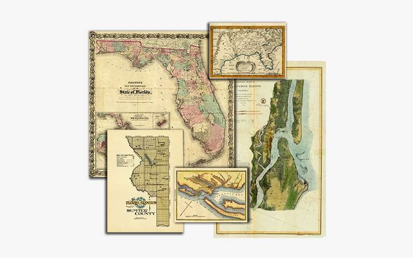
Group Of Florida Maps - Historical Nautical Chart Cp1069c: Fl, St. Augustine is a high-resolution transparent PNG image. It is a very clean transparent background image and its resolution is 504x460 , please mark the image source when quoting it. Group Of Florida Maps - Historical Nautical Chart Cp1069c: Fl, St. Augustine is a completely free picture material, which can be downloaded and shared unlimitedly. Seeking more PNG image group png,group silhouette png,group of people icon png? Please to search on SeekPNG.com.
| Image type | PNG |
|---|---|
| Resolution | 504x460 |
| Name | Group Of Florida Maps - Historical Nautical Chart Cp1069c: Fl, St. Augustine |
| License | Personal Use |
| Size | 520 KB |
| Views | 13 |
| Downloads | 3 |


